
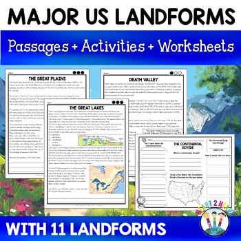
This U.S. Landforms Activity Pack is a perfect complement to a unit on geography! It includes everything you need to teach all about the 8 major U.S. Landforms in a creative and interactive way.
The U.S. Landforms included in this packet are:
✔ The Great Basin
✔ The Gulf of Mexico
✔ The Great Lakes
✔ The St. Lawrence River
✔ Death Valley
✔ The Atlantic Coastal Plain
✔ The Continental Divide
✔ The Great Plains
There are 8 one page informational articles about each of the U.S. Landforms for students to read and learn about these important landforms. Using the articles, students then complete an organizer to answer the following questions:
1. What is it?
2. Where is it located?
3. Why is it important?
4. What animals live there?
5. Three more interesting facts
The organizers can be folded as a brochure and glued into their interactive notebooks. Just cut out, fold into thirds, dot the back of the middle section of the brochure with glue, and hold in place in their notebooks until dry. Students could add more information or pictures to the outside covers.
✔ For Elementary Grades – Second grade, Third grade, Fourth grade, Fifth grade
There are lots of ways to use this packet in the classroom depending on your students and the time allotted for this lesson.
These are great for center or station work where students work with a partner or in a group to read through the information and then complete their organizers.
If time is limited, you could have each group study and learn about one of the U.S. Landforms and then share their findings with the class. This packet is meant to give them a general foundation of information but if desired students could do additional research to learn even more about each of the U.S. Landforms.